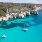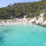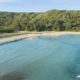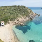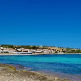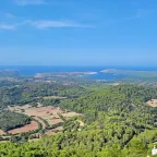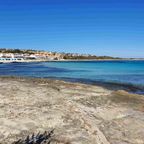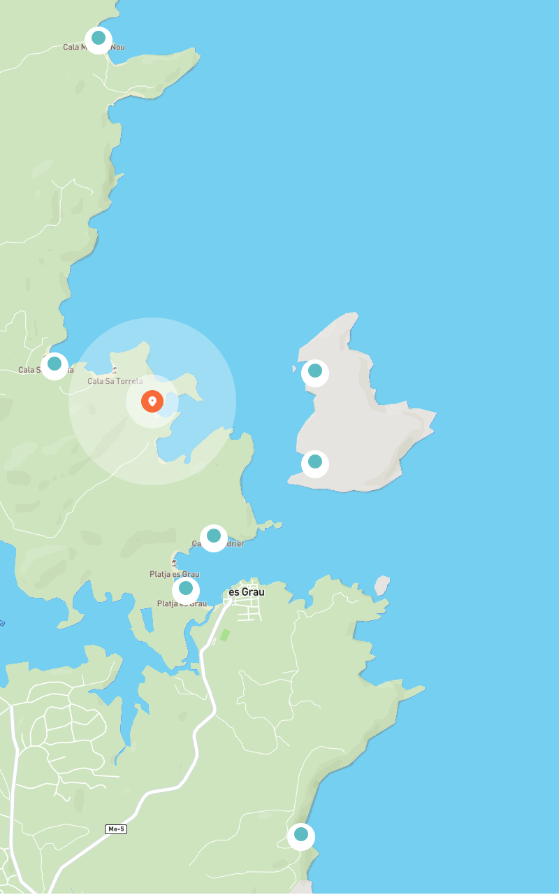
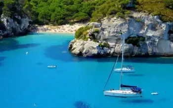
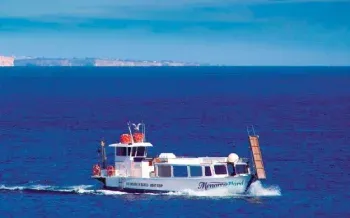
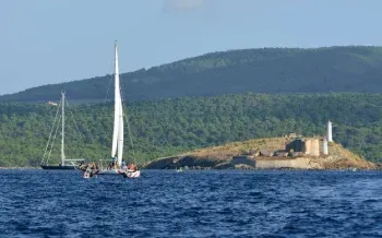
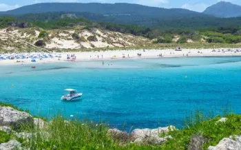

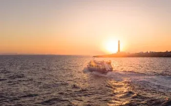
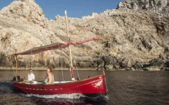
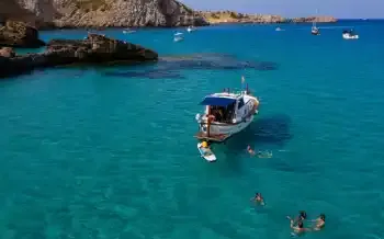
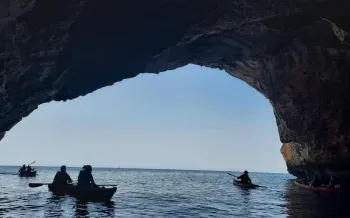
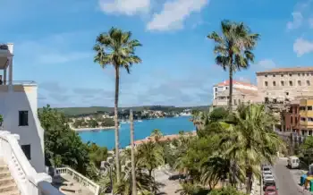
The Northern Menorca Marine Reserve follows one of the island’s most varied coastlines, from Punta des Morter beside La Mola de Fornells to Cap Gros. Along the way you find Fornells Bay, Sa Nitja, the rocky seabeds around Cavalleria, posidonia meadows and small islets that constantly change the view.
It is a place to enjoy the sea at an easy pace. It is not a closed park, but it is divided into zones with different rules for fishing, diving and navigation.
Where is the northern marine reserve?
The official boundary joins Punta des Morter, Illa des Porros and Cap Gros. The official description of the northern marine area highlights its well-preserved posidonia meadows and identifies recreational anchoring over them as a key threat.
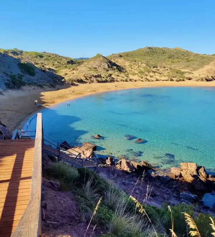
On land, visitors recognise this coastline through beaches and coves such as Cavalleria Beach, Pregonda Beach, Binimel·là, Cala en Valent, Cala Rotja, Cala Tirant, Cala Pudent and Cala Tosqueta. Their guides explain how to reach each beach; marine rules apply offshore and can vary by zone.
What can you do there?
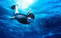
The simplest way to experience the reserve is to put on a mask and get in the water. Rocky seabeds offer views of fish and small marine communities, as long as you leave the bottom and everything on it alone.
You can also navigate here while following markers, speed rules and anchoring restrictions. Before dropping anchor, check that the whole system — anchor, chain and swing — stays clear of posidonia.
Scuba diving and fishing do not have the same conditions across the whole reserve. The official zoning plan distinguishes special protection zones, a recreational fishing closure and other areas where uses are regulated. Permission in one area does not mean that an activity is allowed along the whole coastline.
Fornells, Cavalleria and northern seabeds
Fornells Bay and Cavalleria combine sand, rock and posidonia. That mix makes snorkelling especially enjoyable, but it also means choosing your entry point carefully and avoiding stirred-up sediment.
From Cavalleria Beach, the Camí de Cavalls connects with Cala en Valent and Binimel·là. Around Pregonda, the landscape quickly shifts between islets, rock and small sandy patches. They are beautiful coastal walks, but that does not mean you can land or anchor wherever you like.
Rules for a responsible visit
- Check maps and current rules before setting out.
- Do not fish or dive outside authorised conditions.
- Do not touch posidonia or take animals, plants or shells.
- Do not anchor on meadows or in prohibited areas.
- Follow patrol instructions and markers.
For the wider context, read our guide to Menorca’s marine reserves and compare this area with the Illa de l’Aire Marine Reserve.
Sources consulted
- Balearic Government: Northern Menorca Marine Area.
- Balearic Government: reserve plan and zoning.
- Balearic Government: basic marine-reserve regulations.
- Menorca Playas content: the linked beach guides.